Interactive Maps
Your route comes alive with interactive maps, elevation profiles, and multi-layer track switching. OpenStreetMap tiles with Cycle or Topo layers.
Trail Tales is a platform for the trips that matter. Pair your GPX tracks with maps, photos, and the stories behind them — all in a clean, distraction-free space that puts your adventure first.
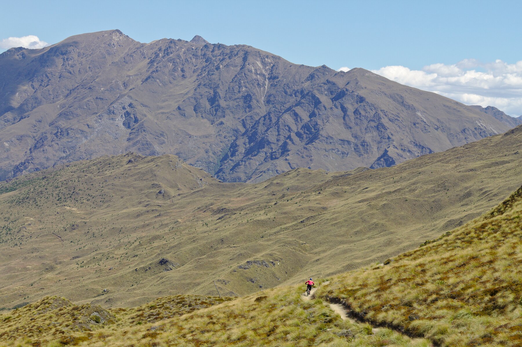
Not a feed. Not a tracker. A thoughtfully designed space for the trips that matter.
Your route comes alive with interactive maps, elevation profiles, and multi-layer track switching. OpenStreetMap tiles with Cycle or Topo layers.
Upload your adventure photos — they're automatically grouped by time and displayed in a clean, responsive gallery with lightbox viewing.
A full WYSIWYG editor lets you craft the narrative around each trip. Publish multi-day epics with per-day breakdowns and stats.
Multi-day bikepacking loop through the Lakes with interactive map and photo diary.
View story →22 laps, 8,848 m of climbing — one rider's insane Everest vert challenge on the Glentress trails.
View story →550-mile bikepacking race across the Scottish Highlands with GPS tracking and stage summaries.
View story →Upload your recording, add your photos, write your story — done.
From your bike computer, watch, or phone. We parse the track, compute stats, and render an interactive map.
Photos are auto-grouped by time and placed in embedded galleries, ready for you to edit and reorganise as you like. Write your narrative in our embedded editor — it's your voice, your adventure.
Your trip becomes a beautiful story page rendered in a customisable theme. Share it with friends or keep it as your personal journal. Then head out on the next adventure!
The best adventures deserve to be remembered. Start yours here.